Leadpipe Hill – Simon Warren Cycling Climbs of the North East
- SW Rating: 5/10
- Wheelygood Rating: Easy
- Length: 1.56 miles
- Avg. gradient: 6%
- Strava Segment: https://www.strava.com/segments/19601742
- Parking: Not a lot towards the bottom, but there is a car park at the very top…
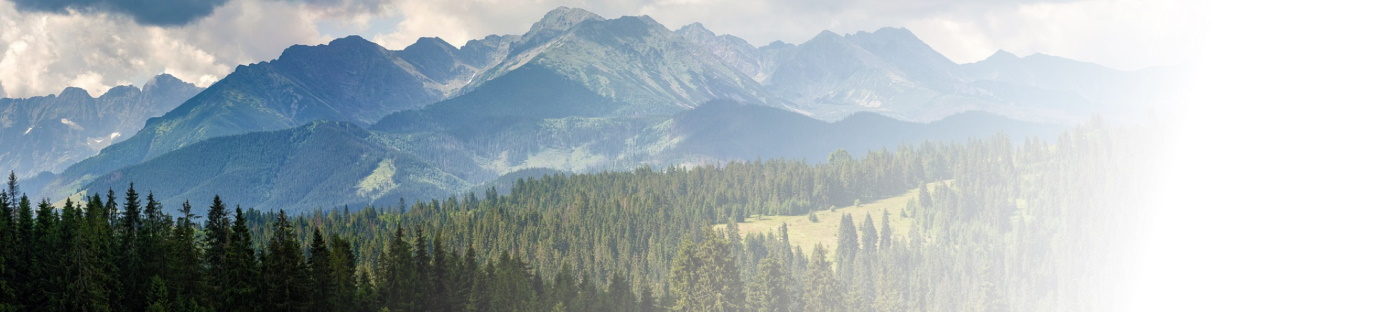
Tucked away in South Northumberland, not far from Slaley Hall lies a one-way road which isn’t known by huge numbers of people. Yes, the locals know, as do the 4×4 and motorbike scrambling community – much to the chagrin of the locals, because the woods in which this is set are not open to motorised transport beyond a certain point. So, if you’re buzzed by someone on a scrambler, or a vehicle towing a motorbike on the back, then you might want to let the Police know their details, because, at the time of writing, this isn’t legal here.
Anyhoo, the climb. Like many things, it begins at the beginning – except that this isn’t where you’d expect it to be from a map, at least if, like me, you’re from around these parts(ish). The first time I rode to the top of Leadpipe hill, I came in on the road at the small, oblique, crossroads and then discovered, to slight irritation, that I’d missed the bottom section of the official Simon Warren segment.
That said, you might be slightly disappointed with the start to the climb – there’s one small ramp and then, erm, some pretty-much-flat to said crossroads. It’s a haul when the wind is against you (most of the time), but, in terms of hill climbing it’s a bit of a nothing.
It doesn’t get much better once you’re past the crossroads, either. The relative flatness continues, skirting the edge of the woodlands. Make the most of it.
After the road winds around a couple of bends, it will straighten out … and look a bit weird. It looks like the bottom of the Halo object from, well, Halo: Combat Evolved. It’s an optical illusion caused by the proximity of the trees and the upcoming increase in gradient – the road really does ramp up like that, and it’s in your future.
The slope increase, then increases a bit more. And, yes, a bit more. It keeps doing this until it becomes steep and it sneaks up on you. At the bottom you’re motoring along, but all the speed will feel like it’s been sucked out of your system and it’s only if you have the slope displayed on a cycle computer (or you take the risk and look behind you) that you can see why that’s happened. The steep part bobs into the teens and remains there for a bit.
If, like most of us, you’ve kept your head down at this point then you will have missed the next changeover. The road goes from ‘steep’ to ‘very steep’, i.e. into the 20% range for the last section of the Big Ramp. With there being a public car park at the end of the tarmac section, please beware cars and other traffic coming down the hill at this point, because they’ll not be hanging about and won’t have a lot of time to see you over the brow. best keep somewhere near the side so you’ve got an escape route!
Just keep pushing through – once you’re over this hump, the very hard work is done. Oh, it still keeps climbing, but it’s much more manageable now, although it does drag on for longer than you’d like. You’ll also find plenty of the local gravel on the road here along with a good sprinkling of branches, leaves and thorns, all of which are hard to spot as the light up here is blocked quite significantly from the tree cover.
After about 1/3 of a mile of dragging on, the tarmac will finish and you’ll ride into a bit of a clearing. This is the car park and it marks the top of the Simon Warren climb. It is possible to ride a bunch of the paths nearby – they are for cyclists and walkers (and, probably horse riders, although I’d recommend checking that). According to a bunch of the mapping websites, you can go straight on and, eventually, you’ll drop down into the North side of Blanchland. I rode about 100m along the first part of the track, simply because it continues uphill and I wanted to be able to say that I’d reached the summit1 and, whilst this part was ridable on a road bike, it’s not ideal terrain and I’m not sure I can recommend taking one further along the track. Perhaps one day, but, until then, I can’t say anything about the condition, or route, of the trail from there….good hunting, if you try it. And let me know how you got on!
Since you’re here at the top, take a deep breath, turn around and head right back where you came from – this is a no through route, at least as far as the tarmac goes. Great job on getting to the top!
If there are any other road climbs you’d like me to take on, the more ridiculous the better, then please send me a message on my FaceBook page https://www.facebook.com/wheelygoodcycling/ or email me on wheelygoodmail@gmail.com and let me know…

Yes, I am actually that sad… ↩


